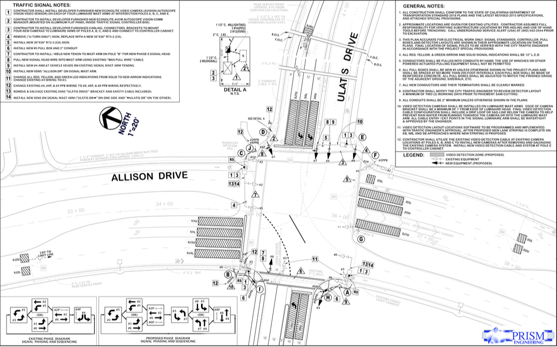
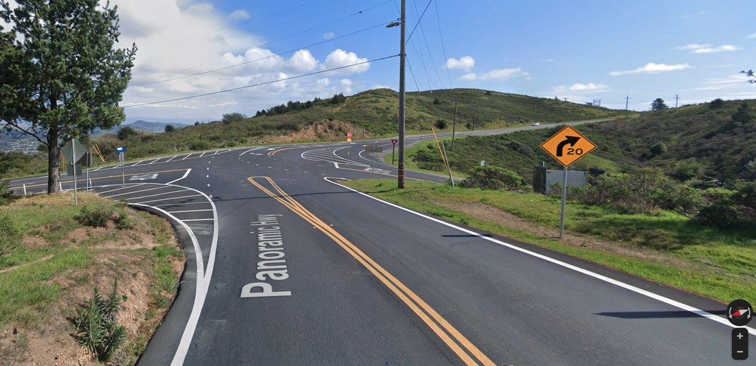
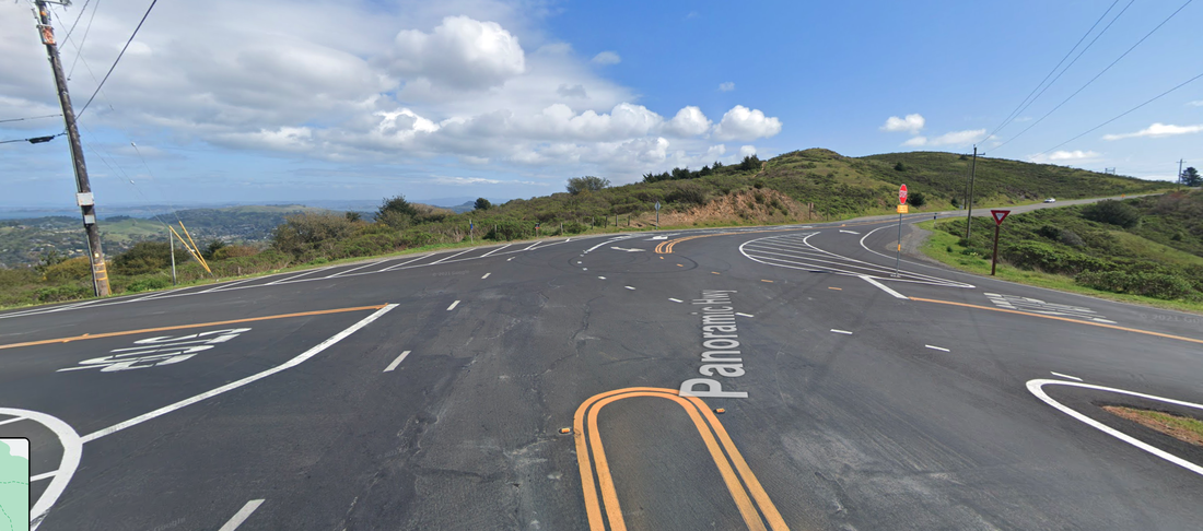
traffic engineering
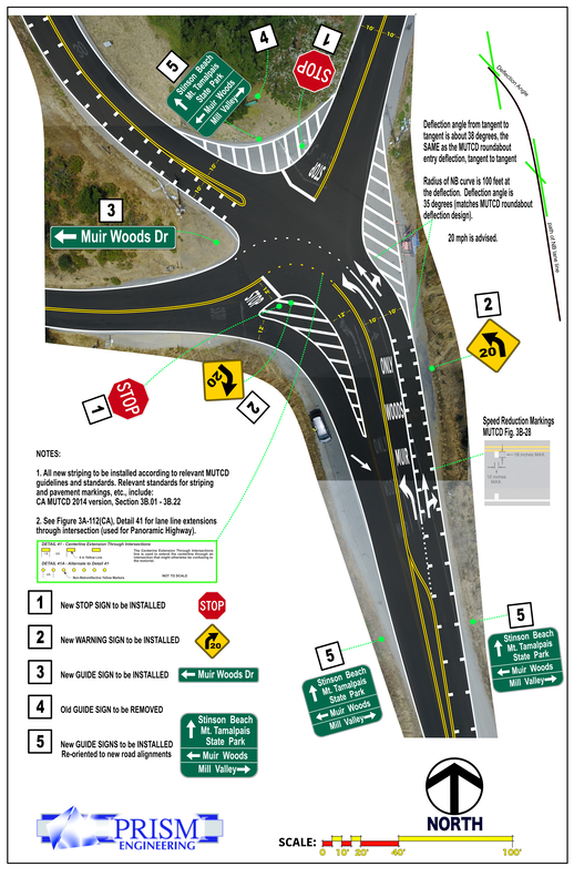
multi-modal traffic engineering
integrating the bus, the bike, the ped, the car, the train
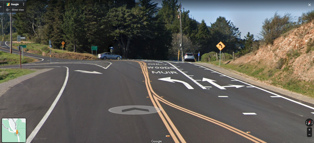
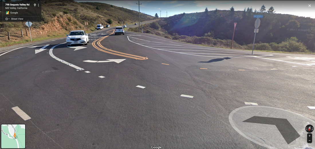
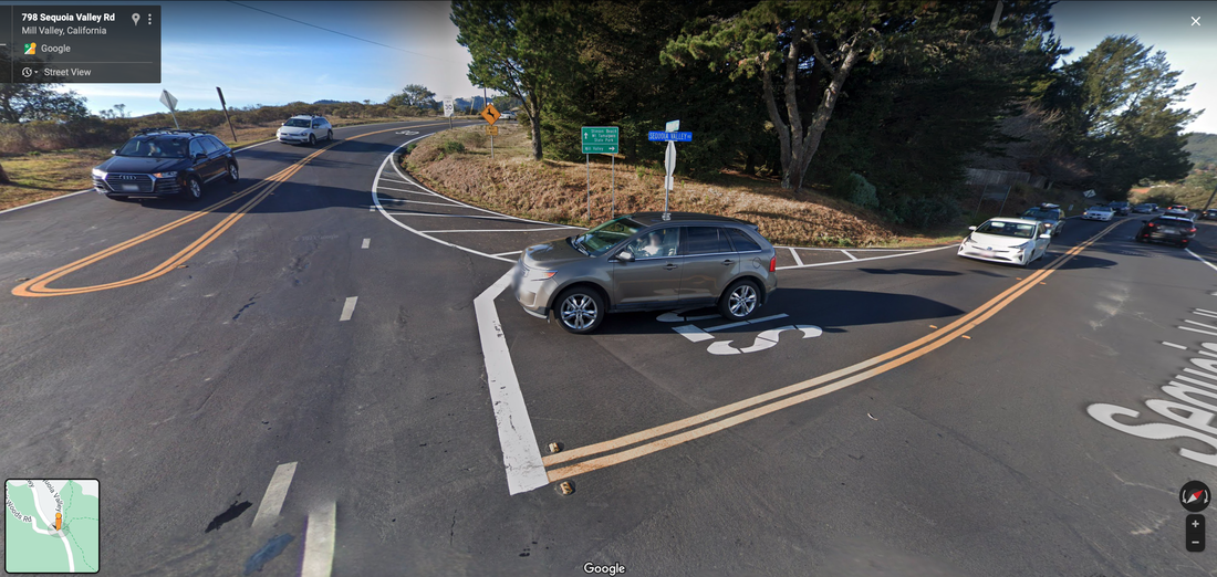
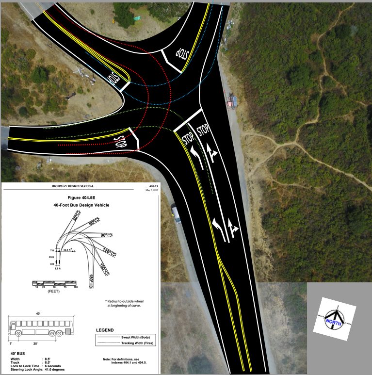
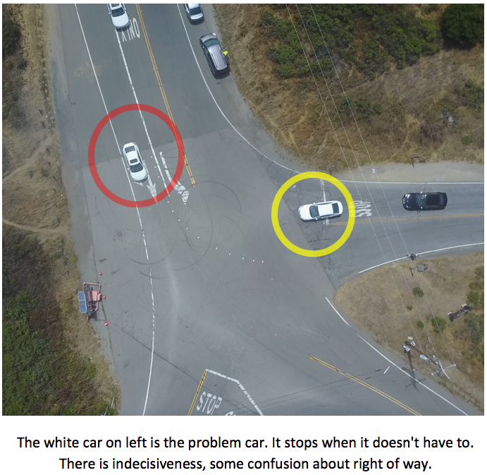
photo/video © 2019 PRISM Engineering
integrating the bus, the bike, the ped, the car, the train
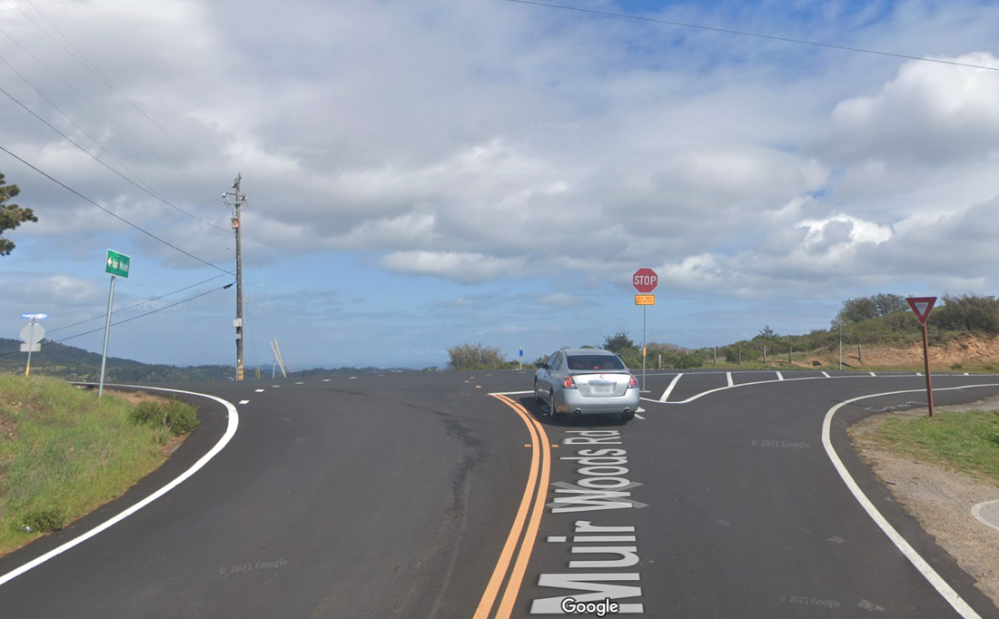
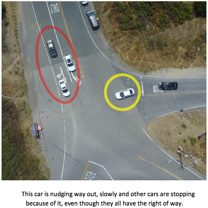
photo/video © 2019 PRISM Engineering